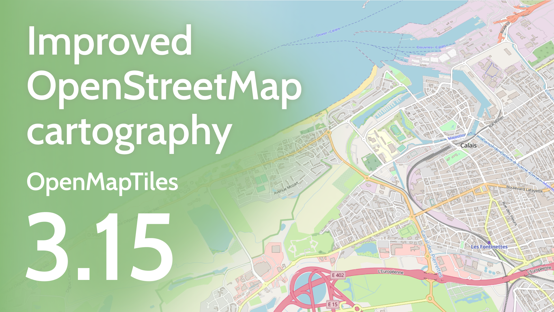
OpenMapTiles 3.15, the open-source vector tiles map-generation tool, is out now. Here are the highlights:
- Significant enhancements to the road network
- Improved rendering of water features
- Integration of Aboriginal lands
- Extra functionality for adding the most requested data & improving cartography
Improved road network and other new map features
Compact road network
The most visible improvement is the enhancement of highway networks. Previously, certain sections of highways were not visible on the map, such as remote rural parts of Canada. With the latest update, the entire Trans-Canada highway is now visible as early as zoom level 4, significantly improving the map's comprehensiveness and accuracy in these regions. Roads on higher zoom levels were improved in general, e.g., bridges are now rendered as part of the highways, until they are visible as actual bridges on the map.
Additional enhancements have been made, particularly in the UK and Ireland, where primary and secondary networks have been refined. These improvements enable the tagging of roads with shields.
The ability to create a unified network from routes that share a common network value but employ different shields is another significant improvement. Please note that this update constitutes a breaking change.
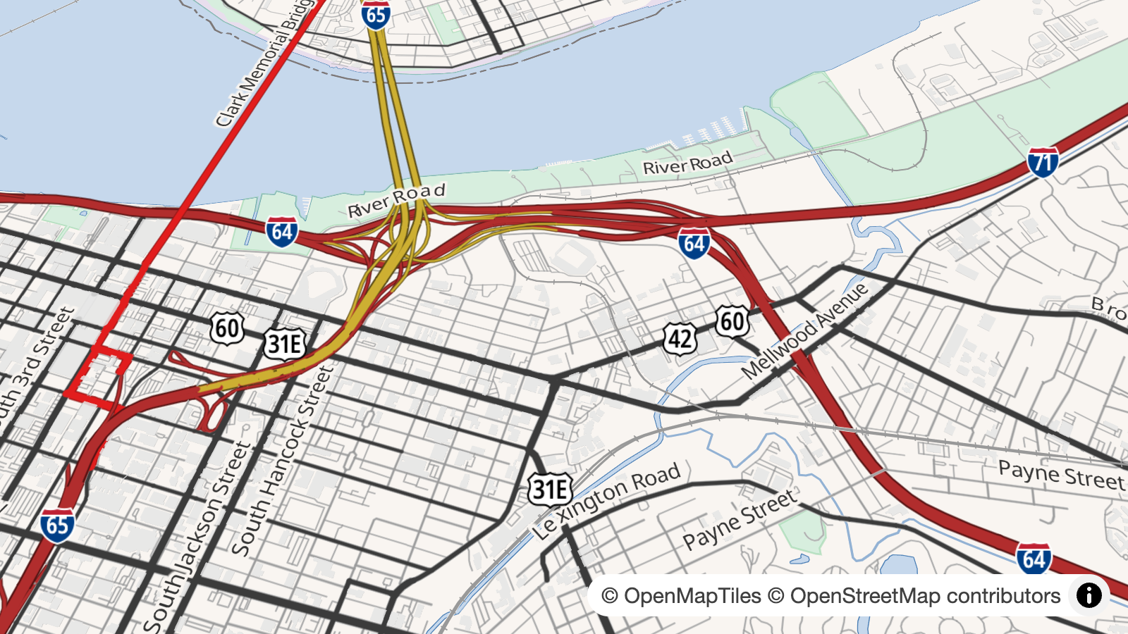
Kennedy Interchange on the OpenStreetMap Americana map style
Improved water features
A new class, “pond”, for minor water bodies like ponds, basins, and wastewater, has been introduced, allowing for some cartographic improvements. This new class means that it is possible to style big lakes differently and sooner on higher zoom levels than your local pond.
Also, traveling across big lakes and even seas is more visible thanks to the addition of long-distance ferry routes.
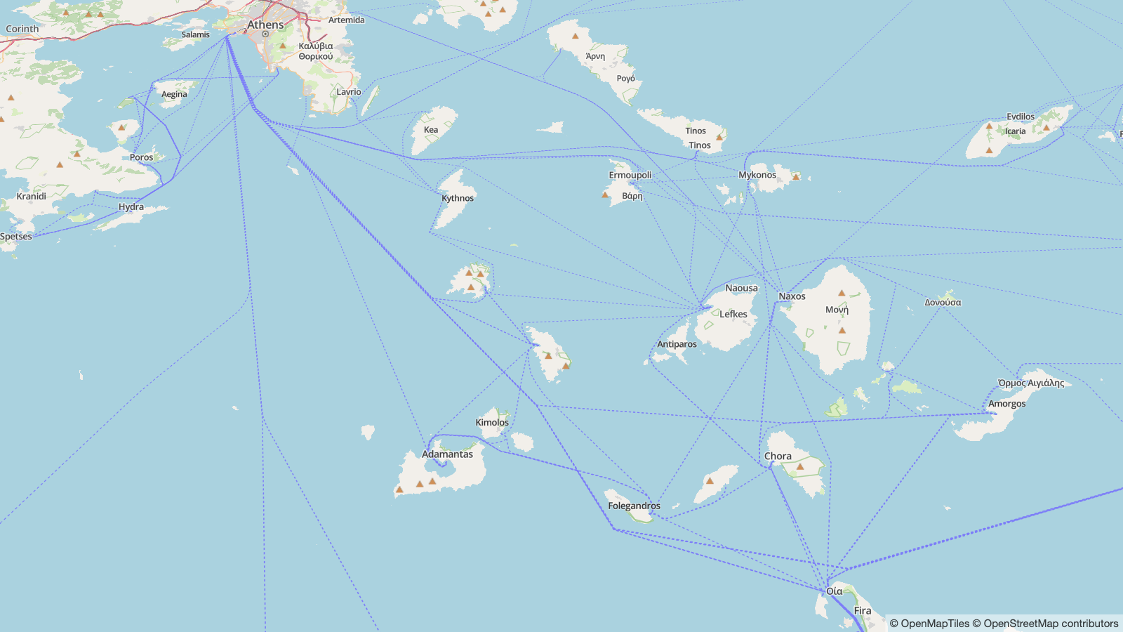
Ferry routes between Greek islands
New “Lands inhabited by Indigenous peoples” and even more languages
To promote awareness and recognition of indigenous communities, we have introduced “Aboriginal lands” into OpenMapTiles. These areas are technically mapped as boundary=aboriginal_lands in OpenStreetMap. I strongly encourage individuals to contribute to this initiative by mapping these areas. For additional information on how to map them, visit the OSM wiki.
With eight newly added languages, OpenMapTiles now supports 78 languages!
Another few hundred million people are able to read maps based on OpenMapTiles in their own language
For a full list of new features, read the full changelog.
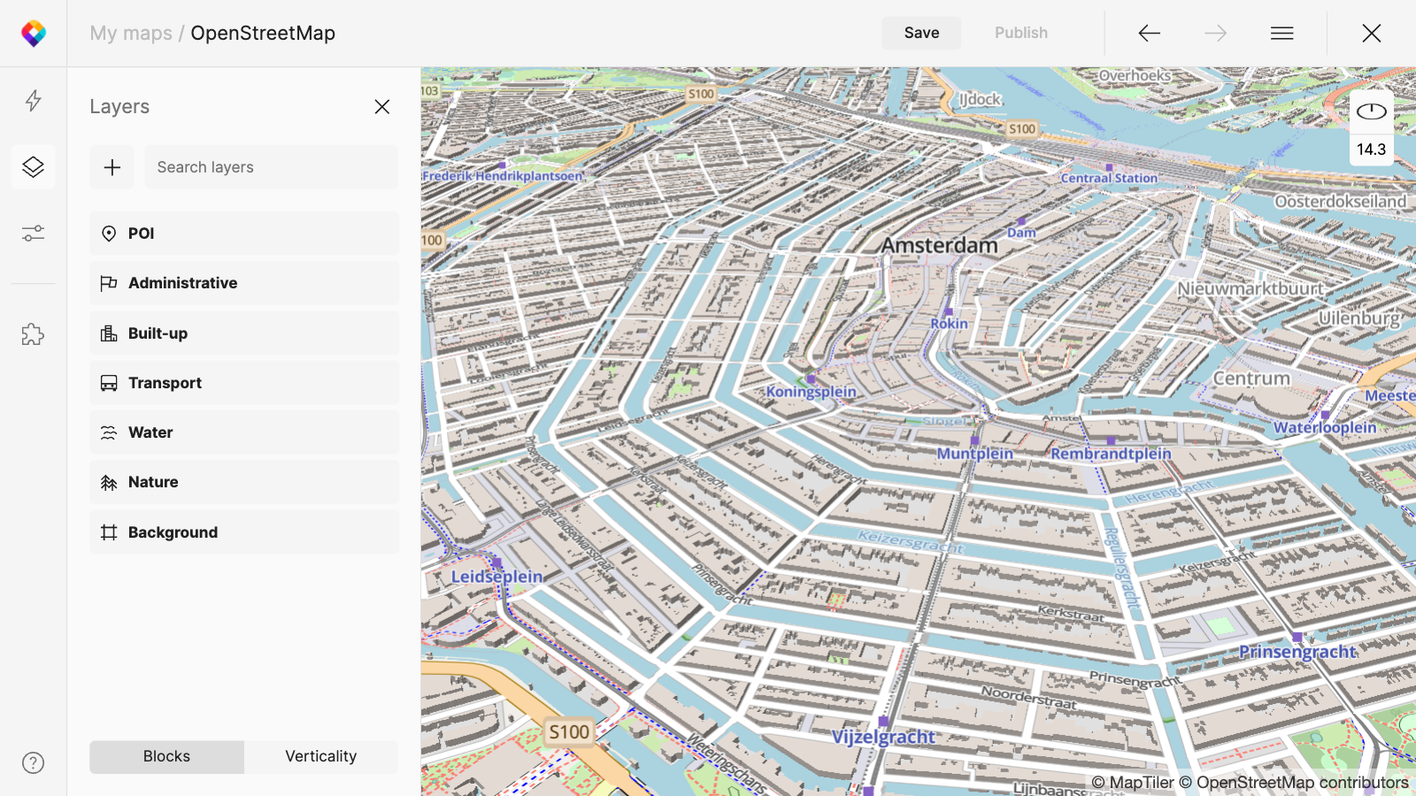
OpenMapTiles-based maps for web developers and for self-hosting
Maps from the OpenMapTiles project are available for end-users for use as a map service via API or as a data package for self-hosting. Both services provide maps with weekly updates.
For web developers, we offer maps via API as vector or raster tiles. You can use the OpenMapTiles style or completely change the map design using the Customize tool.
For self-hosting, we provide map packages with weekly updated data and a map server for easy deployment.
USE OPENMAPTILES VIA API GET SELF-HOSTING DATA
Improvements focused on cartography
Many changes in version 3.15 were intended to improve cartography - e.g., displaying bigger lakes & important universities on higher zoom levels, removal of house number duplicates, adding many values from the “office” key, charging stations, generalizations, road merging, etc. The style that benefits mostly from these changes is the default OSM OpenMapTiles Style introduced in OMT 3.14, but other styles benefit as well, including community-based ones like OSM Americana.
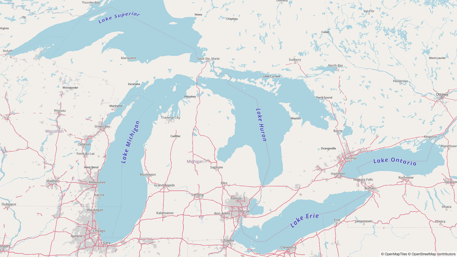 Labels on big lakes show much sooner than on small ponds
A huge part of the work needs to be credited to the community. I would like to thank each and every person who helped OpenMapTiles in any way. A big thanks to the major committers Brian Sperlongano alias ZeLonewolf, Benedikt Brandtner, Andrea Mennillo, and Michał Gwóźdź. Thank you; your contribution makes the project thrive!
Changes for the OpenStreetMap community
Last year, we tried to get OpenMapTiles as one of the featured maps on the openstreetmap.org homepage. After a discussion with the community via email and also in the pull request, an issue was identified due to OMT using Wikidata translations. We removed these translations from OpenMapTiles 3.15 (Please note you can add it back during tile generation!), and we really hope to see OpenMapTiles on the osm.org homepage soon!